 Sign up for
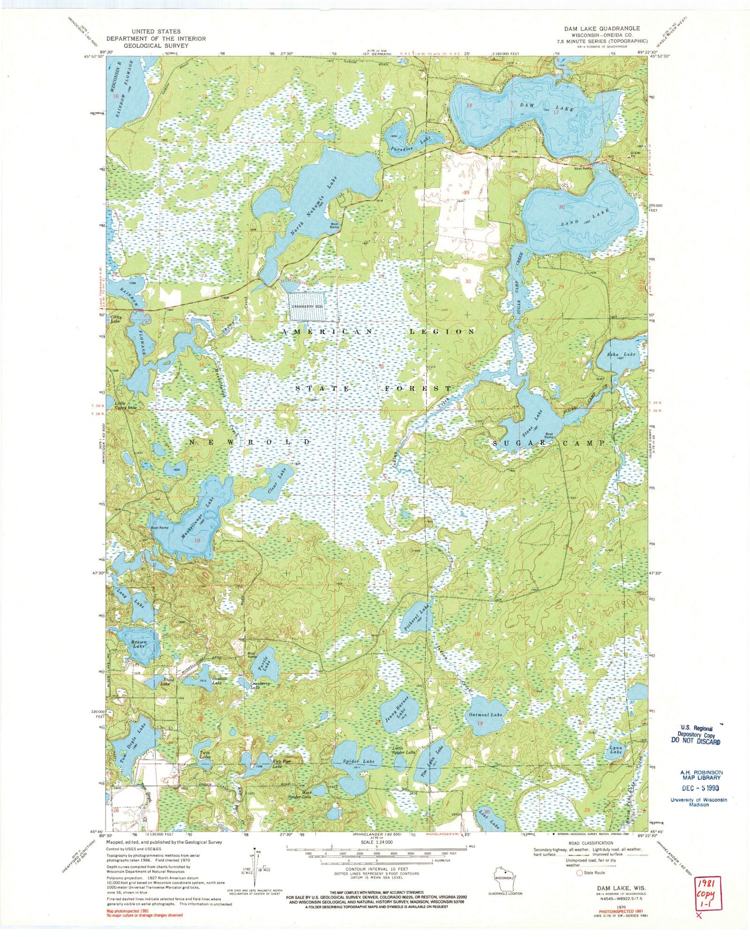
Dam Lake WI Topo Map - 1:24000 Scale, 7.5x7.5 Minute, Historical 1970 Edition
Dam Lake WI Topo Map - 1:24000 Scale, 7.5x7.5 Minute, Historical 1970 Edition
1 / 1
$ 22.00


Description
Outdoor enthusiasts and map collectors, this Dam Lake, Wisconsin topographic map is a gem!

It's a historical USGS map from 1970 (updated in 1972) at a 1:24000 scale, covering a 7.5x7.5 minute quadrangle.

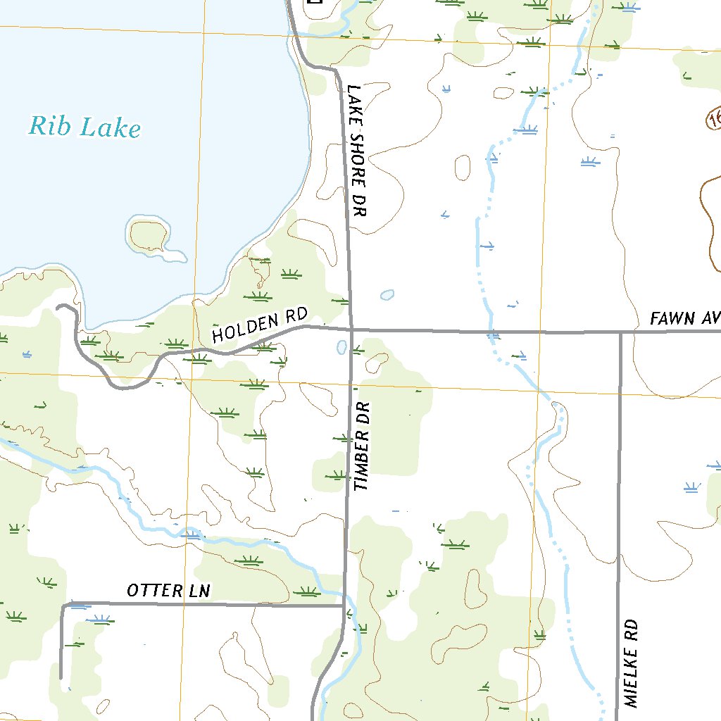
The map shows elevation lines, lakes, rivers, roads, and geographic details—perfect for hiking, planning, or framing as wall art.

Printed on-demand on high-quality paper, it measures 27.4 x 22 inches and ships rolled for protection.

Whether you're exploring the Northwoods, studying local geography, or just love vintage maps, this is a detailed and functional piece.
A great gift for adventurers, historians, or anyone with ties to Wisconsin!
Related Products

Wheaton, Illinois Topographic Map - 1:24,000 Scale USGS Quadrangle (Historical 1962/1964)
Harford, NY Topographic Map (1903, Updated 1924) - 1:62500 Scale, 15 X 15 Minute, Historical USGS Map (20.2" X 16.6")

Fort Smith Oklahoma Topographic Map (1946) - 1:250,000 Scale, 23.7" X 30.9"

Lake Jackson, Florida USGS Topographic Map - 1:24000 Scale, 7.5 X 7.5 Minute, 1999 Updated 2003


Sponsored Products






$ 22.00